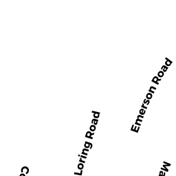
99 LORING RD
Owner Information
DAIGNEAULT TANJI J
99 LORING RD
WINTHROP, MA 02152


Property Details
99 LORING RD is classified as a Single Family Residential (Old style).
The primary structure on this property was built in 1910. There are 4,994ft2 of built area within this property. There is 2,442ft2 of residential/living space within this property. This property is listed as having 8 rooms.
99 LORING RD is valued at $637,100. The land is valued at $279,000 and the structures are valued at $357,600. There is an additional valuation of $500 on this property.
The most recent deed for 99 LORING RD is recorded at the local registrar in Book 49790, Page 53. 99 LORING RD was last sold on Friday, July 6, 2012 for $330,000.
Assessment data from fiscal year 2019.
Flood Data
According to the FEMA National Flood Hazard Layer, this property does not appear to be in a flood zone. It may also be in an area not yet reviewed. Nonetheless, confirm this information prior to taking any action.
To view the flood hazards around this property, create a FEMA "Firmette" Map of the area around 99 LORING RD.
Broadband Internet Providers
| Provider | Type | Bandwidth (mbps) | |
|---|---|---|---|
| VSAT Systems, LLC. | Satellite | 2 | 1 |
| Verizon New England Inc. | DSL | 15 | 1 |
| Viasat Inc | Satellite | 100 | 3 |
| GCI Communication Corp. | Satellite | 0 | 0 |
| HughesNet | Satellite | 25 | 3 |
| T-Mobile | Fixed Wireless | 25 | 3 |
| Comcast | Cable | 1000 | 35 |
Broadband service provider data from December 2020.
Adjacent Properties
- 182 COURT RD
Two-Family Residential owned by COHEN M SUSAN - 95 LORING RD
Single Family Residential owned by CONNOLLY RICHARD G - 178 COURT RD
Single Family Residential owned by BOCCHIO SCOTT F - 103 LORING RD
Single Family Residential owned by WATSON RICHARD J - 188 COURT RD
Single Family Residential owned by PALUMBO GINA M